Beijing NOKOV Science & Technology Co., Ltd (Headquarter)
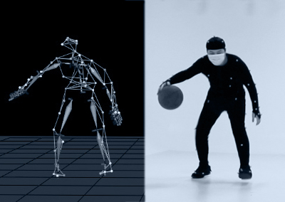
Distributor Life Sciences(Biomechanics, Medical research, Clinical analysis, Rehabilitation, Sports science)
 Room820, China Minmetals Tower, Chaoyang Dist., Beijing
 info@nokov.cn
 + 86-10-64922321